GIS Services
GIS Services
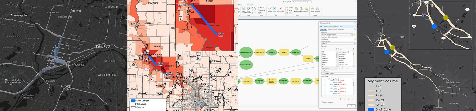
Geographic Information Systems (GIS) is a tool used to capture and display data related to locations on the earth's surface. This capability makes GIS a powerful tool in exploring issues, managing and processing information, developing solutions, and communicating outcomes. GIS has become indispensable within a variety of engineering and planning specialties for its ability to overlay diverse data on a single map — enabling both intuitive visual understanding and a unique level of spatial analysis. When combined with real-time data visualization and workflow automation, the result is a tool that can streamline work, deeply engage users, and enable new levels of insight.
The Isthmus team leverages GIS to provide value to clients within a variety of disciplines. Whether developing models to automate water resources workflows, creating accessible mapping applications for public engagement, or designing print-quality maps and figures, Isthmus will tailor GIS solutions to support the specific objectives of your project.

Featured Team Members
